


- Area
- The Remarkables Conservation Area
- Distance
- 13km
- Time
- 6-7hr
- Grade
- Difficult
- Access
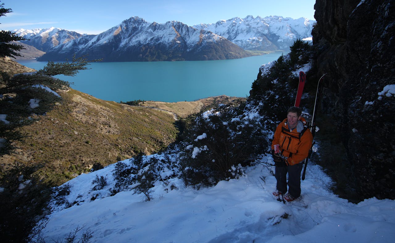
- Remarkables Ski Area Road. Upper Wye Creek is reached from above Lake Alta. Access to the bottom of Wye Creek is 5km south from the ski area access road on SH6
- Map
- CC11
- GPX File
- wye creek (gpx, yo 10 KB)
- Your device does not support GPX files. Please try a different device.
This trip requires a second car to be left at the Wye Creek track end. As the creek is located outside The Remarkables Ski Field boundary, a knowledge of avalanche awareness is essential if descending the creek in winter.
Skiers should carry and know how to use avalanche rescue equipment before venturing out.
From the ski field car park, head to Wye Creek Saddle from where the descent into the Wye Valley begins. A steep headwall must be negotiated at this point and requires sound knowledge of assessing snow conditions and safe travel techniques in avalanche terrain.
After negotiating this section, skiers should have a nice run of around 5km (providing there has been enough snow fall).
The crux of the trip comes when the contours get closer together and the creek gradient steepens.
In summer this area is a well marked route, but in winter it is a different story and route selection will need to be made with care. Eventually the snow will run out and you will be able to join the marked track to the track end on SH6.
