


Summiting the mountain of love
At 953m, Te Aroha is the highest point on the Kaimai Mamaku Range and the broadcasting tower at the top is a landmark seen for miles around on clear summer days. It’s rumoured that on such days you can see Mt Taranaki from the summit, but on our chosen day for the trip it was overcast so we experienced limited views from the top.
It is quite a venture to climb to the top and has to be planned as it will take three hours up and only slightly less to come back down. The summit track starts at the Mokena Geyser in Te Aroha Domain, which is only 35m above sea level.
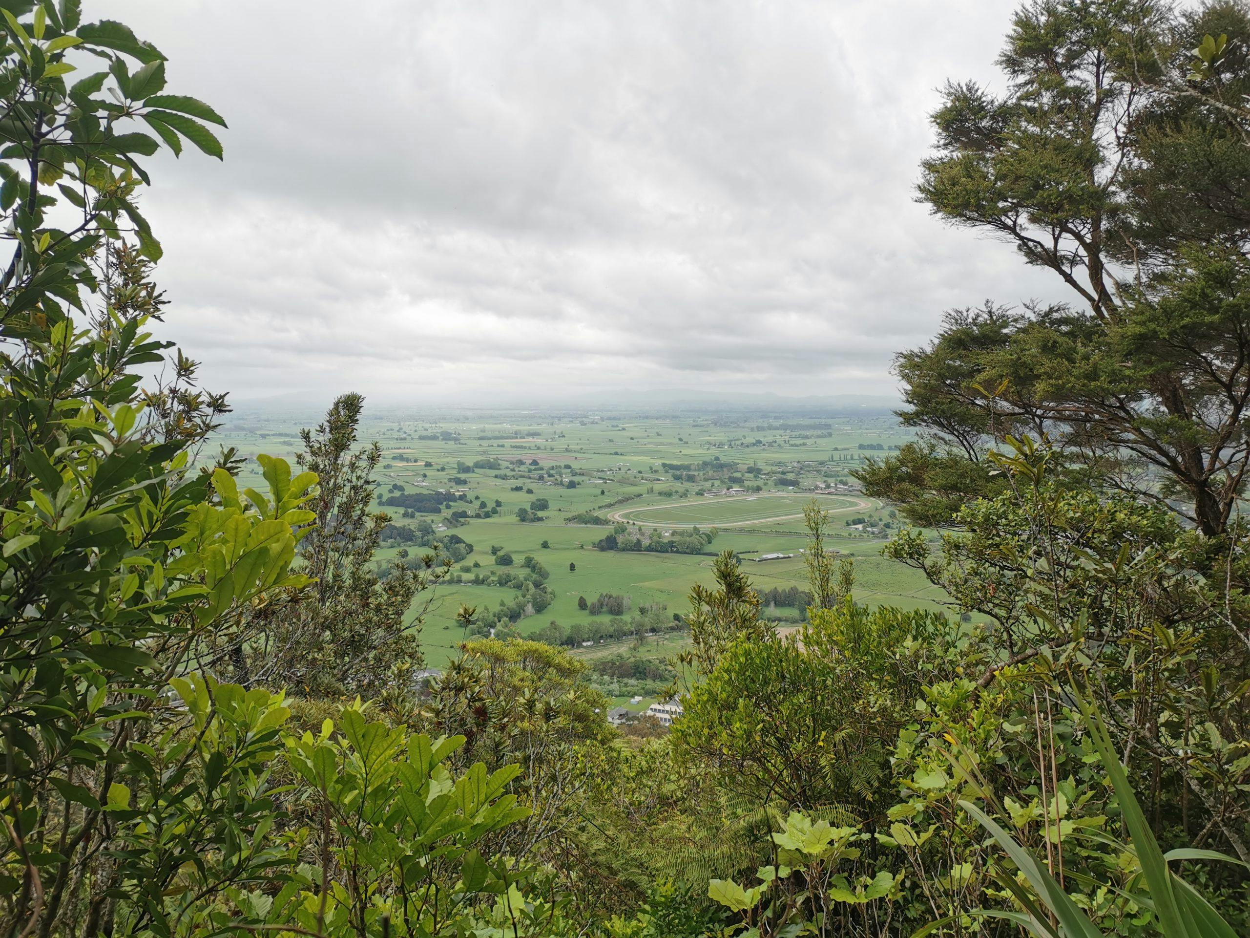
Initially, the track is well-maintained and well-formed. It takes about 45-minutes to reach the Whakapipi Lookout at 310m, where there are excellent views of Te Aroha and the farmland of the Hauraki Plains.
At Bald Spur, 200m higher, there are seats to rest on and then the track changes from a walking trail to a rougher route. The wide gravel path is no more and there are no more steps and handrails to ease the upward journey. The track is easy to follow, but it is hard work at times clambering over boulders and using tree branches as leverage.
The path of least resistance is where the water has run down the track and so each step is a different size and span to the one before and the one after.
The static coming from the transmission and communication tower can be heard long before it is seen and can be mistaken for a waterfall.
From the top are 360-degree views, only not on our day.
Going down feels as though it wouldn’t take as long as climbing up, but, for us, there wasn’t much in it – just 15 minutes quicker going down than up. There was still much clambering involved.
– Bridget Jochems
- Distance
- 3.06km
- Total Ascent
- 916m
- Grade
- Moderate
- Time
- 5-6hr return
- Access
- From Te Aroha Domain
- Map
- BC35
GPX File
- Te Aroaha (gpx, 3 KB)
GPX File
- Your device does not support GPX files. Please try a different device.
