

A stunning winter out-and-back with three huts to bag
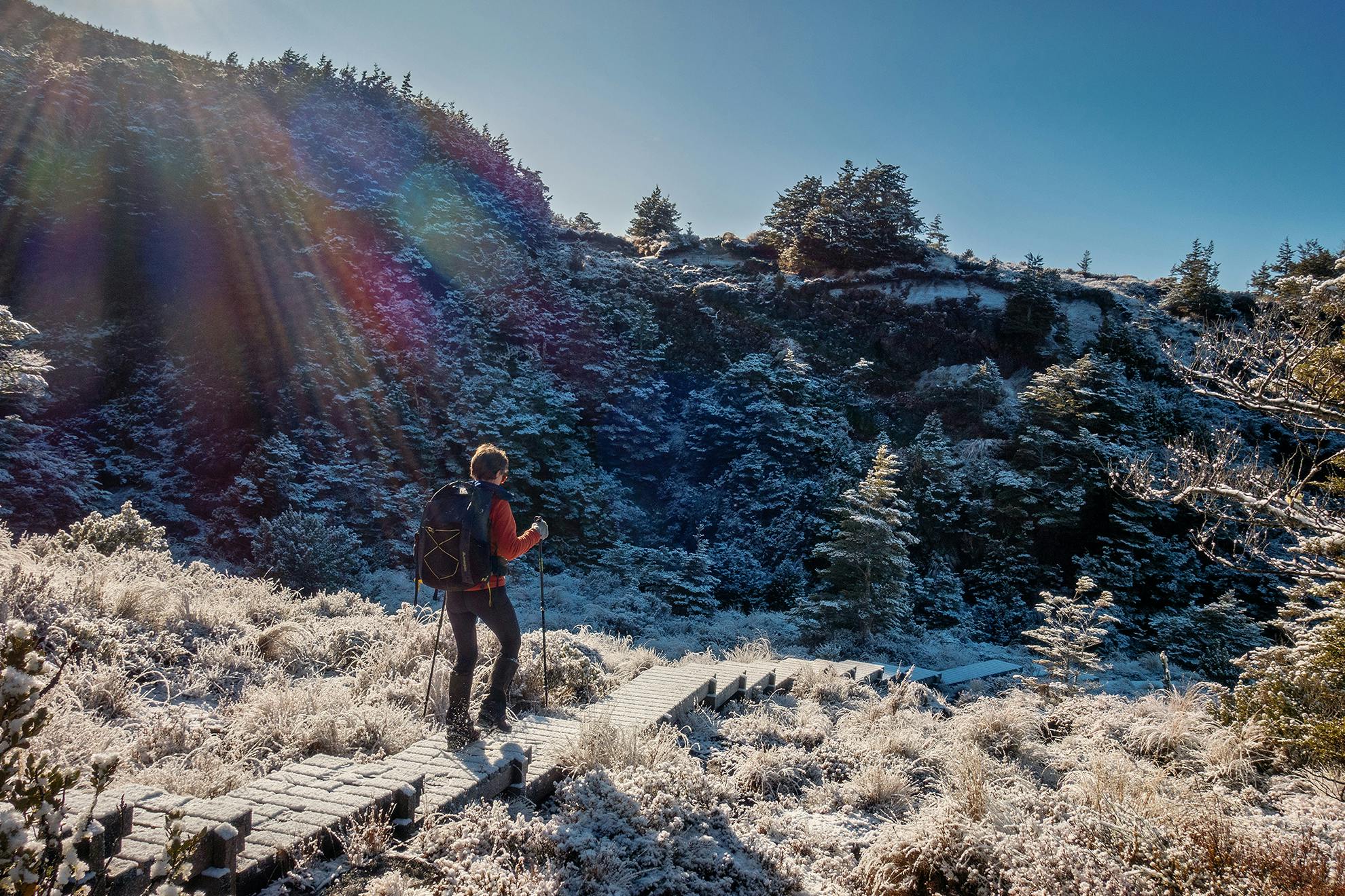
Winter is the season to explore the eastern flank of Ruapehu. The sun lights the vegetation, and the irregular blocks of old lava flows give shape to the landscape. The barren Rangipo Desert is stark and beautiful, and there could be snow on the ground.
From the Waitonga Falls car park on Ohakune Mountain Road, follow the Round the Mountain route. The track climbs briefly before sidling through mountain beech forest and across the Rotokawa wetland to soon confront the Waitonga Falls, the highest in Tongariro National Park, plunging 39m into a pool.
About 1.4km from the car park, a sign points the way uphill to Lupton and Blyth huts. If you’re in hut-bagging mode, this detour will see you a couple of huts richer.
Lupton Hut is 1km uphill east from the turnoff. It is owned and managed by Whanganui High School and has mid-century charm and old school furniture. Book through the school if you want to stay here.
Just 300m further up is Blyth Hut, popular with families seeking a short overnighter complete with stream crossings, a waterfall and winter snowball fights. Following the detour, continue on the Round the Mountain Track, which traverses above the bushline for 7.5km to Mangaehuehu Hut. The track is a mix of scoria and boardwalks built to protect the fragile flora. From the hut there are expanded views of Ruapehu’s southern flanks.
Winter visitors should check conditions with DOC at Ohakune beforehand.
- Distance
- 6.5km to Mangaehuehu Hut (add 2.6km return for Blyth Hut detour)
- Total Ascent
- 334m
- Grade
- Easy / Moderate
- Time
- 3hr
- Accom.
- Blyth Hut (serviced, 20 bunks), Mangaehuehu Hut (serviced, 18 bunks)
- Access
- Waitonga Falls car park, Ohakune Mountain Road
- Map
- BJ34
GPX File
- Mangaehuehu Hut (gpx, 52 KB)
GPX File
- Your device does not support GPX files. Please try a different device.