


- Area
- Waipunga Conservation Area
- Distance
- 9.31km
- Time
- 5.5-7hr
- Grade
- Moderate
- Accom.
- Lower Matakuhia Hut (basic, six bunks)
- Access
- Take SH5 from Taupo turn onto Pohokura Rd. There are two river fords. Track head coordinates 1906247-5686621
- Map
- BH38
- GPX File
- Lower Matakuhia Hut (gpx, yo 14 KB)
- Your device does not support GPX files. Please try a different device.
The map shows the track to Lower Matakuhia Hut starting about 800m from the road. It,s not at all obvious when you get there where the track is so it may pay to double check the coordinates with DOC beforehand. Otherwise, search around.
The track climbs gently to a saddle below Opureke (1107m) and then sidles around several other hills before heading south-east into the Matakuhia River. The area is rich in birdlife, including kereru (native wood pigeon), wax eyes, fantails and tui. The track is initially very good and is well marked but is badly overgrown in places once it starts the descent to the river. Care is needed in some places to find the next track marker.
At the river following the track can be difficult so if you are having trouble and the river is in low flow try walking down it instead. There are two gorges, both short and simple, to negotiate, with the second in particular becoming impassable with higher flows.
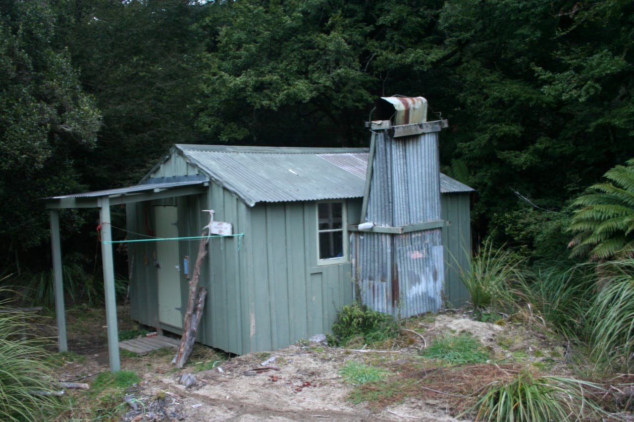
The hut, a standard Forest Service six bunker, stands at the downstream end of a large flat with a pleasant northerly aspect.
If you’re looking for a weekend trip that offers a bit of a challenge both physically and technically, bird life in quantity and a hut where you can be guaranteed a bunk, try the Lower Matakuhia.
