


- Distance
- 8.95km
- Total Ascent
- 622m
- Time
- 6.5-10hr
- Grade
- Difficult
- Access
- Kiwi Road off SH40
- Map
- BH31
- GPX File
- Kiwi Road to Mt Messenger Taranaki (gpx, yo 65 KB)
- Your device does not support GPX files. Please try a different device.
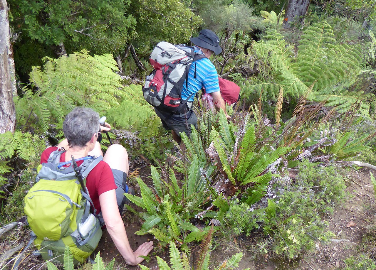
The route to Mt Messenger isn’t the easiest navigationally; the track is rough and the markers elusive.
Starting at Kiwi Road is easier than coming the other way from Mt Messenger.
After a drive of about 9km down the winding, narrow, bush-clad road, it comes out into open farmland – Rerekapa Station – and an unmarked stile near a large silo pit; the start of the walk.
About 50m across the farm, there is a large orange DOC marker. It’s a hand-over-fist, short but sharp climb to the ridge, through a fence and presumably onto conservation land with the change from farmland to stunted bush. Some searching will reveal markers, which lead to a pleasant stroll along the ridge.
It can be easy to lose the markers along the ridge; frequent GPS and compass checks are recommended to stay on track.
A useful waypoint is Huanui (353m), where the markers are more clear along a good track.
The trail follows the ridge tops with some stiff climbs up and over high points and down through saddles.
Skirt around the side of Oneone at 351m and continue across the tops, with views of the razor-sharp sheer cliffs and slip faces along sections of the track.
Much of the track is overgrown, but there are pleasant stretches where it passes through fairly open mixed tawa and kamahi forest and crown fern interspersed with small patches of hard beech forest.
Take care on the narrow ridges, which drop away steeply into deep valleys below.
After descending the last steep knee-crunching ridge, the route opens into a meadow of regenerating kahikatea swamp before one last steep climb back to the road.
