


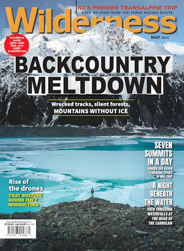
Icefall camp
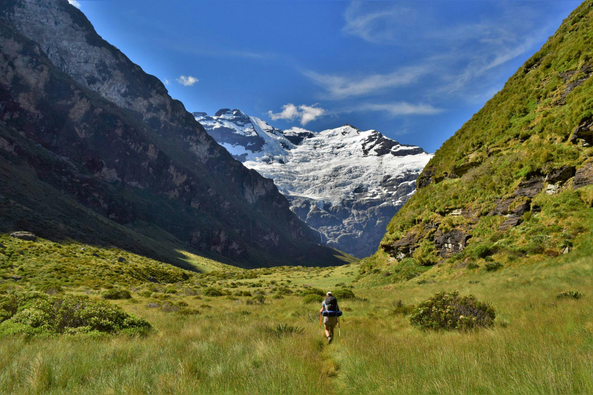
Featuring an icefall tumbling 2000m down a rock face and feeding a multitude of waterfalls, the Earnslaw Burn is one of the most spectacular valleys in the country.
Best of all, it’s relatively untouched – only one other party was camping in the valley when we visited between Christmas and New Year.
Terminating at the southern face of Mt Earnslaw, the second highest peak in Mt Aspiring National Park, the Earnslaw Burn Track provides an accessible path to this incredible site.
The trail climbs through sparse beech forest before emerging at a steep meadow clearing. It then heads back into the forest, continuing up the valley high above the Earnslaw Burn. The track suffered heavy windfall following a snow storm in 2016 and while the trail has mostly been cleared, some tree fall remains. The trail continues in a rather monotonous pattern – dipping and climbing – until, after four hours, it rejoins the Earnslaw Burn and emerges from the forest at an idyllic alpine valley.
Gradually, the southern face of Mt Earnslaw is revealed as the trail heads through tussock and speargrass.
There is a rock bivvy and well-used camping site about 20 minutes from the forest fringe – this is in a more open part of the valley, giving a sunnier camping option. But the best views are further up the valley. There are a number of smaller camping spots close to the stream and the further you walk, the better the view. We settled at a stream-side clearing and soaked in the last of the summer sun. As Mt Earnslaw glowed in the dimming light, I rested my head on my pack and took in the view.
When the sun disappeared behind the high valley wall, the temperature plummeted, reminding us that we were camped at 900m.
The next morning, we explored further up the valley, gaining better views of the glacier and its waterfalls. Then, cursing ourselves for not bringing food for an extra night, we made our way back to the car park.
- Distance
- 11.7km
- Total Ascent
- 924m
- Grade
- Easy / Moderate
- Time
- 5hr each way
- Access
- Lovers Leap Road, off the Glenorchy-Paradise Road
- Map
- CB10
GPX File
- Earnslaw Burn (gpx, 10 KB)
GPX File
- Your device does not support GPX files. Please try a different device.
