

Rolling hills with views of the Upper Clutha plains, the St Bathans Range and the tall peaks of the Lindis make this a worthwhile day trip.
The route begins in a small car park off Ardgour Road that provides access to the aptly named Dry Creek Track. Even in winter the creek can be completely bare. Follow the markers through private land and ater crossing a few stiles and a large paddock, the trail leaves the farmland and follows a 4WD track towards Dry Creek. The path winds through the creek bed for about 1km, then follows a marked fenceline.
After an hour a DOC sign indicates the Cloudy Peak Track on the opposite side of the creek, which enters the Neinei i Kura Conservation Area. The track climbs steadily through bush before eventually reaching the ridgeline and Cloudy Peak Track, where the views begin to open up.
An easy 4WD track leads all the way to the summit in a steady incline. The track passes Pt853 and then a kilometre further on Pt1017 where there is a track junction. Continue straight ahead towards Cloudy Peak or turn right to reconnect with the Dry Creek Track in the valley below (this makes an alternative return route).
The track continues in an easterly direction for another 2km, past Pt1159 where a right fork in the track diverts you to a private 4WD route that leads to Mt Kamaka. Permission is required to access this peak.
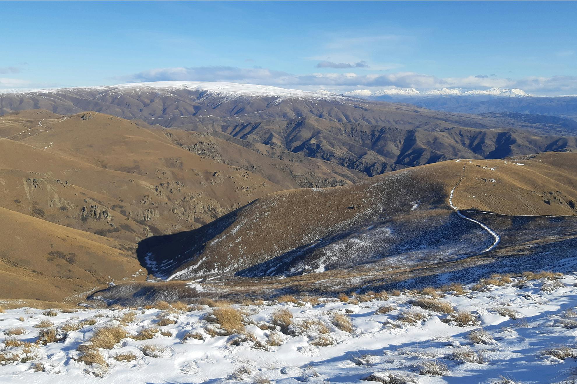
The Cloudy Peak Track continues on the left fork and steepens as it nears the summit. Simple off-track navigation is required here. Fantastic views await over the Clutha Valley, Pisa Range and the Lindis Valley, and the St Bathans Range can be seen just to the north of the Dunstan Mountains. The contrast between wrinkly hills, flat plains and the snow-capped mountains is tremendous.
The track from the summit continues along the northern section of the Dunstan Mountains and provides access to the Cluden Stream Track.
The upper section of Dry Creek Track is closed for lambing between 10 October and 21 November
- Distance
- 14.7km to summit
- Total Ascent
- 1508m
- Grade
- Moderate
- Time
- 4-5hr to summit
- Accom.
- CB13, CB14
- Access
- Small car park off Ardgour Road
GPX File
- Cloudy Peak (gpx, 11 KB)
GPX File
- Your device does not support GPX files. Please try a different device.