


- Area
- Takitimu Conservation Area
- Distance
- 30.9km
- Time
- 2 days
- Grade
- Moderate
- Accom.
- Aparima Huts, 8-bunks; Becketts Hut, 4-bunks
- Access
- Princhester Road, about 30km from either Mossburn or Te Anau on SH94
- Map
- CD09, CE09
- GPX File
- Aparima Huts (gpx, yo 70 KB)
- Your device does not support GPX files. Please try a different device.
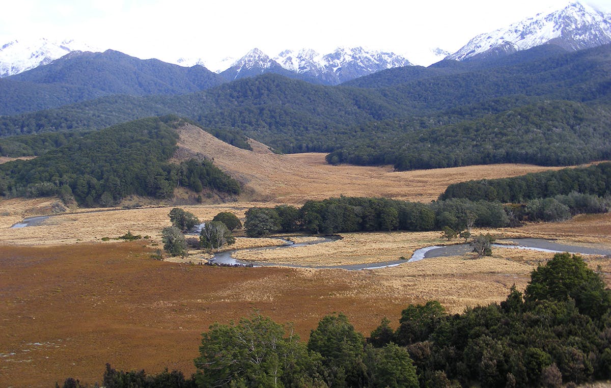
A new route down the western fringes of the Waterloo Burn and to Aparima Huts has been put in as part of the length-of-New Zealand track, Te Araroa Trail.
Set off along the track up the Bog Burn. A 400m climb gets you to a saddle, from where a sharp drop brings you to the first clearing in the head of Waterloo Burn. Here, the new route diverges from the old, following what might be a fault line behind a series of large hummocks. Other than installing orange markers, no track development has been done, so the ease of travel is dependent on the vegetation. In the bush, the understory appears to have been well eaten so travel is easy; at other times you’ll be forcing your way through crown fern. Out in the open, the travel is sometimes good but often requires forcing your way through chest-high red tussock. The route also incorporates a lot more up and down than a valley route.
At the point where the Aparima River emerges from the bush, a sign indicates a track to its headwaters, with the other direction pointing to the last climb before descending to Aparima Huts.
The main hut is a cosy eight-bunk model, with its less-cosy looking predecessor nearby offering bunks for any overflow. On The following day, take the ‘old’ route out so you can visit Becketts Hut. A vehicle track bypasses the larger boggy areas on the valley floor, but when it runs you’ll be back in the deep red tussock, repeatedly crossing the stream.
An orange pole marks the detour to Becketts Hut, a tidy Forest Service four bunker set just inside the bush.
As the valley closes in and starts to rise more steeply, the vegetation on the flats becomes increasingly scrubby, slowing travel. If there was previously a marked route here, then its removal means that every party finds its own way and any ground trail has probably disappeared.
Climb onto a terrace at the head of Waterloo Burn and retracing your steps from the previous day over the saddle and out.
