


Wilderness caught up with the New Zealand Mountain Safety Council to learn more about its new trip planning app, Plan My Walk, and to get a behind-the-scenes glimpse into what goes into making a world-first app.
The decision to create the world-first trip planning app Plan My Walk was not made on a whim. In fact, it was over two years in the making.
The NZ Mountain Safety Council (MSC) says its mission is to improve personal safety in the outdoors and to do this requires a comprehensive and effective strategy using an evidence-based approach.
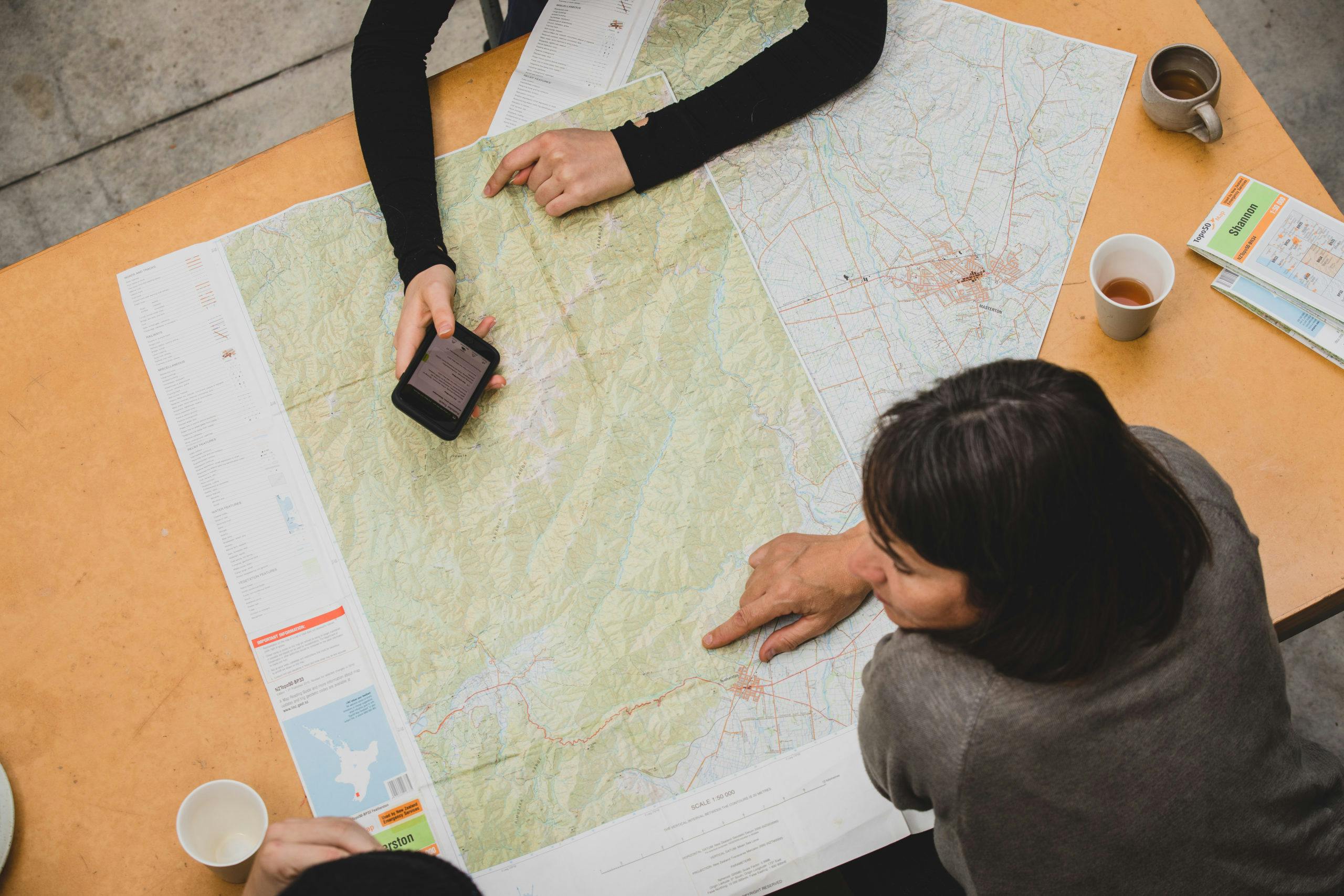
Amongst the first steps was determining how people planned and prepared for their trips.
Throughout 2019 and 2020, MSC conducted two research projects that explored these topics in detail. The results of the surveys (to be released publicly soon), helped establish a clear understanding of peoples’ planning and preparation for their adventures and how that planning could be improved with the addition of new tools. Also, the findings identified a clear target audience for Plan My Walk.
Development began in June 2020 when MSC began working with Wellington-based Somar Digital. After an intensive five-day ‘design sprint’, a prototype was developed for user testing. Building on this, MSC created an advanced prototype, in preparation for development, aimed at refining a user’s experience.
By December 2020, development of the app took place and over a nine-week period Plan My Walk was created, tested and refined. Four weeks of BETA testing with 450 users provided valuable feedback which was used to further refine the app before its public release.
Plan My Walk pulls in a range of live data from partners. Department of Conservation (DOC) provides an automated data feed, known as an API, of over 1000 tracks, and all huts and campsites. DOC also provides an alert feed, which is the same as that used on its website. MetService provides automated weather warnings and watches. This is integrated into Plan My Walk so that warnings are relevant to any selected trip.
Plan My Walk uses a complex logic that overlays the weather warnings areas and tracks to determine which warnings are applicable to the given track. Plan My walk is built on a Silverstripe content management system. It has been developed as a mobile-first website and then using an Ionic Framework is deployed as an app.
This is the second story in a four-part series. Read the first article, ‘Kiwi app a world-first for trip planning’.
Have a question about Plan My Walk? Email your questions to MSC (info@mountainsafety.org.nz) and wait until the final article in this series for them to be answered. Each question submitted will go in the draw to win a $50 prezzy card.
Download the app, Plan My Walk, from your preferred app store, or check it out online at www.planmywalk.nz. Select a track, enter your trip dates and find alerts, an interactive gear list, weather forecast and much more. Create a trip plan, assign an emergency contact, share it and you’re ready to go!